
Restoring the Edge: Why Riparian Buffers Matter for Freshwater Health
The Living Border Between Land and Water
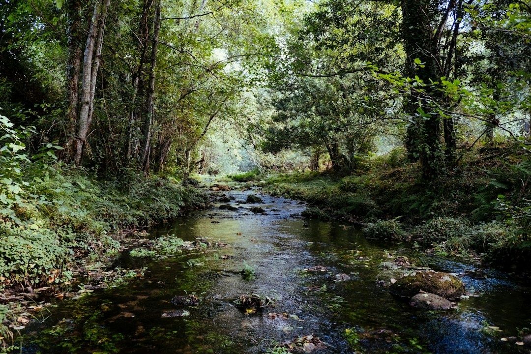
Headwater streams are the small, easily overlooked channels that form the circulatory system of entire freshwater drainage networks. They collect rainfall, connect wetlands and ponds, feed larger rivers, and carry the combined effects of every field, road, lawn, and neighborhood within the watershed. Because they are narrow and often close to homes or working land, changes along their banks can quickly influence water quality far beyond the original property.
A riparian zone is therefore much more than a decorative strip of greenery beside a creek. It is a dynamic biological membrane where land and water exchange nutrients, moisture, shade, organic matter, and habitat. Trees, shrubs, grasses, soil organisms, and roots work together to slow runoff, capture sediment, regulate temperature, and hold unstable banks in place. A planting decision made along a few meters of stream edge can contribute to basin-wide resilience by reducing the severity of heat, drought, and stormflow impacts downstream.
Thermal Regulation and the Power of Canopy Shade
Sunlight is essential to life, but excessive solar exposure can rapidly warm a shallow headwater stream. As water temperature rises, its capacity to hold dissolved oxygen declines. Warm conditions can also increase the metabolic demands of fish and aquatic invertebrates, leaving less oxygen available precisely when animals need more of it. Cold-water species such as trout and salmon are particularly vulnerable when shaded reaches are replaced by open banks, closely mown turf, or bare soil.
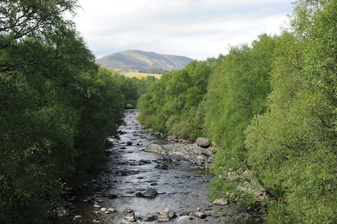
Riparian trees and shrubs moderate this problem by intercepting sunlight before it reaches the channel. Their canopies also cool the surrounding air, reduce evaporation, and help maintain a more stable bank-side microclimate. Monitoring in southern England found that daily temperature peaks in shaded reaches were typically about 5 degrees Celsius cooler than in open water. The research indicated that approximately 20 percent canopy cover extending for at least 500 meters along small, rain-fed streams could prevent current summer maximum temperatures from reaching potentially life-threatening levels for native cold-water fish. The full findings are available in Forest Research”s study of riparian shade.
Evidence from coastal British Columbia also illustrates the protective value of retaining buffers during forest harvesting. In a replicated paired-catchment study, streams without riparian buffers experienced summer daily maximum temperature increases of as much as 2 to 8 degrees Celsius, while streams with 10-meter or 30-meter buffers showed no marked warming. Results vary with channel orientation, width, depth, canopy height, and local climate, so no single buffer measurement fits every site. The broader lesson is consistent: connected shade along small channels can prevent short, intense thermal spikes and extend the benefits downstream through agricultural and urban reaches.
- Retain mature trees where they are healthy and do not threaten people or infrastructure.
- Plant a mixture of native trees and shrubs to create shade at different heights and across different seasons.
- Protect young plants from browsing, mowing, soil compaction, and repeated flood damage during establishment.
- Inspect sunny gaps, especially on south-facing banks, where heat exposure may be greatest.
Root Architecture as Subsurface Structural Engineering
Streambank stability depends on more than what can be seen above ground. Roots bind soil particles together, reinforce the bank like a living mesh, and create channels that allow water and air to move through the soil. Fine, fibrous roots are particularly effective near the surface, where they resist raindrop impact and shallow erosion. Deeper roots from trees and larger shrubs can anchor soil farther into the bank, helping resist slumping when the channel rises rapidly.
Turf grass can protect exposed soil from some forms of surface erosion, but its relatively shallow root system often provides less structural reinforcement than a diverse community of woody perennials, grasses, sedges, and forbs. Native vegetation also slows runoff before it reaches the stream. When water travels through a rough, vegetated surface, its velocity falls, giving sediment and attached pollutants more opportunity to settle. By contrast, compacted lawns, bare paths, and concentrated drainage outlets can deliver fast-moving water directly to the bank, increasing shearing forces during storms.
| Bank condition | Likely effect during runoff | Useful restoration response |
|---|---|---|
| Closely mown turf with shallow roots | Limited reinforcement and faster surface flow | Reduce mowing and introduce deeper-rooted native plants |
| Diverse shrub and tree zone | Greater soil binding, roughness, shade, and organic matter | Protect natural regeneration and fill persistent gaps |
| Bare or compacted bank | High runoff velocity and increased risk of rilling or slumping | Redirect concentrated flow and establish vegetation with suitable site protection |
| Unstable, actively migrating channel | Potential failure beyond the capacity of ordinary planting | Seek geomorphic assessment and qualified technical advice |
During high-volume stormflow pulses, natural bioengineering can make the difference between a bank that bends and one that collapses. Planting alone is not a cure for every erosion problem. Large unstable channels, undercut banks, failing culverts, and concentrated drainage may require professional assessment before any work begins. In those settings, poorly placed trees or rigid structures can redirect flow and worsen damage. A sound plan matches root depth, plant community, and bank treatment to the channel”s shape, soil, flood frequency, and expected loads.
The Multi-Tiered Design of an Effective Buffer System
The strongest buffers are designed as layered systems rather than narrow rows of identical trees. The Natural Resources Conservation Service describes Riparian Forest Buffer practice 391 as a treatment using trees and or shrubs beside and up-gradient from a watercourse or water body. Its purposes include reducing sediment, nutrients, chemicals, pesticides, and pathogens reaching surface and ground water, while also improving habitat, storing carbon, lowering stream temperatures, and restoring riparian plant communities. Landowners should consult the applicable state or local technical guidance, because the national standard is not intended to be used by itself to design or install a project. The current framework is outlined in the NRCS Conservation Practice Standard 391.
A practical three-tier structure gives each part of the buffer a distinct job. The streamside tree zone is closest to the top of bank and supplies shade, large roots, leaf litter, and eventually woody debris. The transitional shrub zone adds dense stems and flexible root systems that trap sediment and tolerate conditions too wet, bright, or disturbed for mature forest trees. The upland filter strip, usually made up of grasses and herbaceous plants, slows sheet flow before it reaches the woody zones. In agricultural settings, this outer tier is especially important where runoff approaches the stream from cropland or compacted ground.
- Read the site before planting. Identify the ordinary top of bank, flood-prone areas, concentrated flow paths, wet soils, existing native regeneration, invasive plants, utilities, fences, and access needs.
- Assign functions to each tier. Place deep-rooted trees and shrubs where shade, bank reinforcement, habitat, and woody debris are priorities. Use dense grasses and herbaceous cover where sediment settling and safe mowing access are needed.
- Set width according to risk and purpose. A general minimum of 35 feet is associated with sediment, habitat, and carbon objectives in the NRCS material, while targeted pollutant treatment may require 50 feet or an associated practice. Steeper slopes, saturated soils, longer runoff paths, wildlife goals, and temperature concerns may justify additional width.
- Document establishment and maintenance. Record species, quantities, spacing, planting dates, protection measures, expected survival, and inspection responsibilities. Replace dead plants, control invasive species, and prevent damaging access or grazing.
Width should not be treated as a rigid number measured identically along every parcel. A buffer on a gentle, permeable slope with dispersed runoff may perform well at a different width from one on steep, compacted soil receiving concentrated flow. In Vermont guidance, for example, Zones 1 and 2 together have a 35-foot minimum, while a grass or herbaceous Zone 3 may be required where cropland sheet flow approaches the buffer. Nutrient treatment and wildlife objectives can call for widths of at least 50 feet or more. The right design follows the water, not simply the property line.
Community-Scale Stewardship and Practical Field Implementation
Successful restoration begins with species suited to the site rather than a generic list of attractive plants. Select native pioneers that tolerate seasonal inundation, saturated soils, summer drought, ice, browsing, and local disease pressures. A diverse mix of trees, shrubs, sedges, grasses, and flowering herbaceous plants spreads risk across seasons and weather conditions. It also creates more varied habitat than a single-species planting, while different root depths occupy different layers of the soil.
Early maintenance often determines whether a buffer becomes self-sustaining. Young plants may need shelters or fencing where deer, livestock, or other herbivores are abundant. Competing invasive plants should be controlled before they overtop new seedlings, but weed suppression must avoid disturbing the soil or sending herbicides into the channel. Mulch can reduce competition and conserve moisture where appropriate, although it should not be placed in a way that washes into the stream. During the first several growing seasons, inspections after droughts, floods, and heavy browsing help reveal which species and planting locations are working.
- Map ownership, access points, drainage outlets, and existing native vegetation before organizing a planting day.
- Coordinate with neighbors so isolated plantings can become a continuous corridor rather than disconnected patches.
- Use written maintenance agreements that identify who will mow, remove guards, replace failed plants, and monitor invasive species.
- Keep machinery, livestock, and routine foot traffic out of the most vulnerable streamside zone.
- Track simple indicators such as surviving stems, canopy development, exposed soil, bank undercutting, water temperature, and visible sediment.
Volunteer watershed alliances can make this work more durable by coordinating nurseries, technical advice, monitoring, and shared equipment across multiple parcels. Municipal watershed managers can support continuity through setback policies, conservation incentives, stormwater planning, and public access designs that protect rather than fragment sensitive banks. Individual owners do not need to restore an entire watershed alone. A sequence of linked projects can gradually reconnect habitat, reduce cumulative runoff, and create a corridor capable of handling both ordinary seasons and increasingly extreme weather.
Rebuilding Living Watersheds One Stream Reach at a Time
Every planted linear foot along a headwater boundary contributes to a larger protective network. One restored bank can shade a cold-water refuge, hold soil during a cloudburst, or capture nutrients that would otherwise move into a pond, river, or drinking-water reservoir. The effect becomes more powerful as neighboring landowners protect adjacent reaches and as municipalities align road drainage, stormwater infrastructure, and conservation planning with the natural movement of water.
The essential shift is from passive neglect to active, science-grounded renewal. Start by inspecting the local stream edge after both a dry spell and a heavy storm. Look for bare soil, failing banks, sunny gaps, invasive plants, concentrated runoff, livestock access, and places where natural seedlings are already establishing. Then seek site-specific guidance before planting, particularly where channels are unstable or drainage is concentrated. A healthy riparian buffer is not finished when the plants go into the ground. It is a living piece of infrastructure that grows, adapts, and protects freshwater through years of careful stewardship.